The Origin of the Community
SLV, a private community established with the assistance of the State of South Carolina, was developed by Cooper Communities, Inc. based in Rogers, Arkansas. SLV consists of more than 4,000 acres with over 20 miles of shoreline on Lake Thurmond. Lake Thurmond is the third largest man-made lake east of the Mississippi, spanning over 71,000 acres. In addition to its expansive full-pool acreage, Lake Thurmond is unique because development is governed by the U.S. Army Corps of Engineers. In other words, there are enduring policy mechanisms in place that ensure the character of the shoreline within and around Savannah Lakes Village will remain unchanged.
Learn more about Lake Thurmond at the U.S. Army Corps of Engineers website.
The first lots went on sale on April 1, 1989. There are a total of 4,954 home sites within SLV, with all infrastructure and underground utilities complete. The amenities include two 18-hole golf courses, two clubhouses and golf shops, an amenity rich recreation center and easy access to Lake Thurmond. There are approximately 78 miles of paved roads within SLV, all of which have been dedicated to McCormick County. Savannah Lakes Village transitioned out of developer control in 1999 and is now governed solely by the Savannah Lakes Village Property Owners Association.
Savannah Lakes Village is a premier master-planned community in the Southeast and is beautifully situated along 25 miles of lakefront shoreline in the upstate of western South Carolina.
History of the Area
The saga of the Savannah Lakes region renders an interesting and colorful history that began with South Carolina’s first known Native Americans. The Paleo Indians inhabited this region that composes McCormick County some 11,000 years ago. These explorers trekked southward seeking warmer climates and richer hunting territory.
By 1740, trade between the Cherokee Indians and whites was flourishing. European manufacturers were clamoring for animal hides and furs at premium prices. White hunters and traders departing from Charles Town (Charleston today) traversed the back country of South Carolina creating new trails to the Cherokee Nation. These men became an agent of acculturation and land-use change in the Back Country during the early eighteenth century. The unplanned acculturation set the stage for slow, in the beginning, and ultimately rapid settlement of the upstate of South Carolina, including the land area that now comprises McCormick County.
After General Edward Braddock’s defeat in 1755 during the French and Indian War, the frontiers of Virginia, Maryland, and Pennsylvania were exposed to great danger from the French at Fort Duquesne on the Ohio River, and their Indian allies. Bands of warring Indians ravaged the frontiers populated mostly by Scots-Irish. Settlers evacuated the countryside.
To escape the atrocities, five Scots-Irish families made their way down the Great Wagon Road from Virginia to South Carolina. Perhaps the most remembered of these families were the Calhouns. The Calhouns arrived in the Long Canes (present-day McCormick County) in February 1756. They found an unspoiled, enchanting wilderness paradise. The virgin soil was rich and porous and along the streams it was fertile sandy loam. The countryside was forested with short leaf pines, oaks, cedars, persimmons, cherries, walnuts, cottonwoods, birches, hickories, maples. Chestnuts, oaks, and poplars along the streams often grew to exceed 70 feet or more in height.
The land was a Native American hunter’s bonanza. Buffalo, deer, and black bear abounded. The shaggy buffalo would later lend its name to locales like Buffalo Creek.
February 1, 1760 was a cold winter day in the Calhoun settlement at Long Canes. During the morning, the settlers received the alarm of an impending attack planned by Indian warriors of the Cherokee Nation. Risking her life, Cateechee, an Indian maiden, rode some 70 miles on horseback to warn the settlers. The settlers of Long Canes hastily began preparations to flee some 60 miles south to Tobler’s Fort at Beech Island, just across the Savannah River from Augusta, GA. After having traveled only a few miles to Long Cane Creek where they prepared to camp, the Indians attacked. Casualties among the settlers mounted very quickly. Realizing the futility of further resistance, the surviving settlers, aided then by night, assembled as best they could and fled on horses and reached the safety of Tobler’s Fort. In the short half-hour, the Long Canes settlers suffered 56 killed and a number taken captive. The Cherokee raiding party sustained 21 killed and a number wounded. Today, this is known as the Long Cane Massacre and the site is located 8 miles northeast of the Savannah Lakes Village community.
With indomitable courage, the settlers returned to the Long Canes during the fall of 1760. Following the Cherokee War, peace with the Cherokees brought a flood of emigrants in the Back Country. A steady stream of settlers traveled down the Great Wagon Road from Pennsylvania, Virginia, and North Carolina. Other settlers came by ship into Charles Town. The region that would one day become McCormick County received its fair share of expansion as these hardy pioneers claimed bounty lands all over the county along Cuffeytown Creek, Hard Labor Creek, Little River, Long Cane Creek, Savannah River, and Turkey Creek.
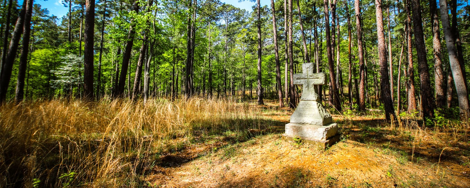
In 1764, a group of French Huguenots, led by the Rev. Jean Louis Gilbert, established the colony of New Bordeaux on Little River. The site is located adjacent to the Savannah Point and Monticello neighborhoods of Savannah Lakes Village.
The Story Continues...
We're continuing to develop content for this area of our website. Suffice it to say that a lot has happened since 1764! We plan to outline some of the events leading up to the creation of Lake Thurmond and the establishment of Savannah Lakes Village. If you are curious about what life is like here and now, you'll enjoy watching this video:

