Lake Thurmond
(also known as Clark’s Hill Lake) is one of the nation’s largest inland bodies of water.
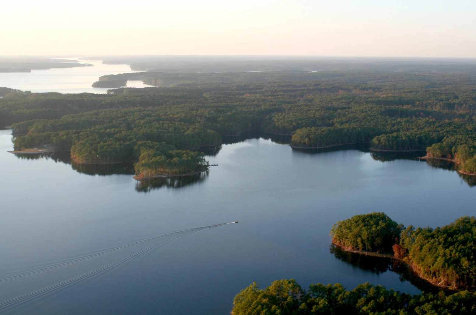
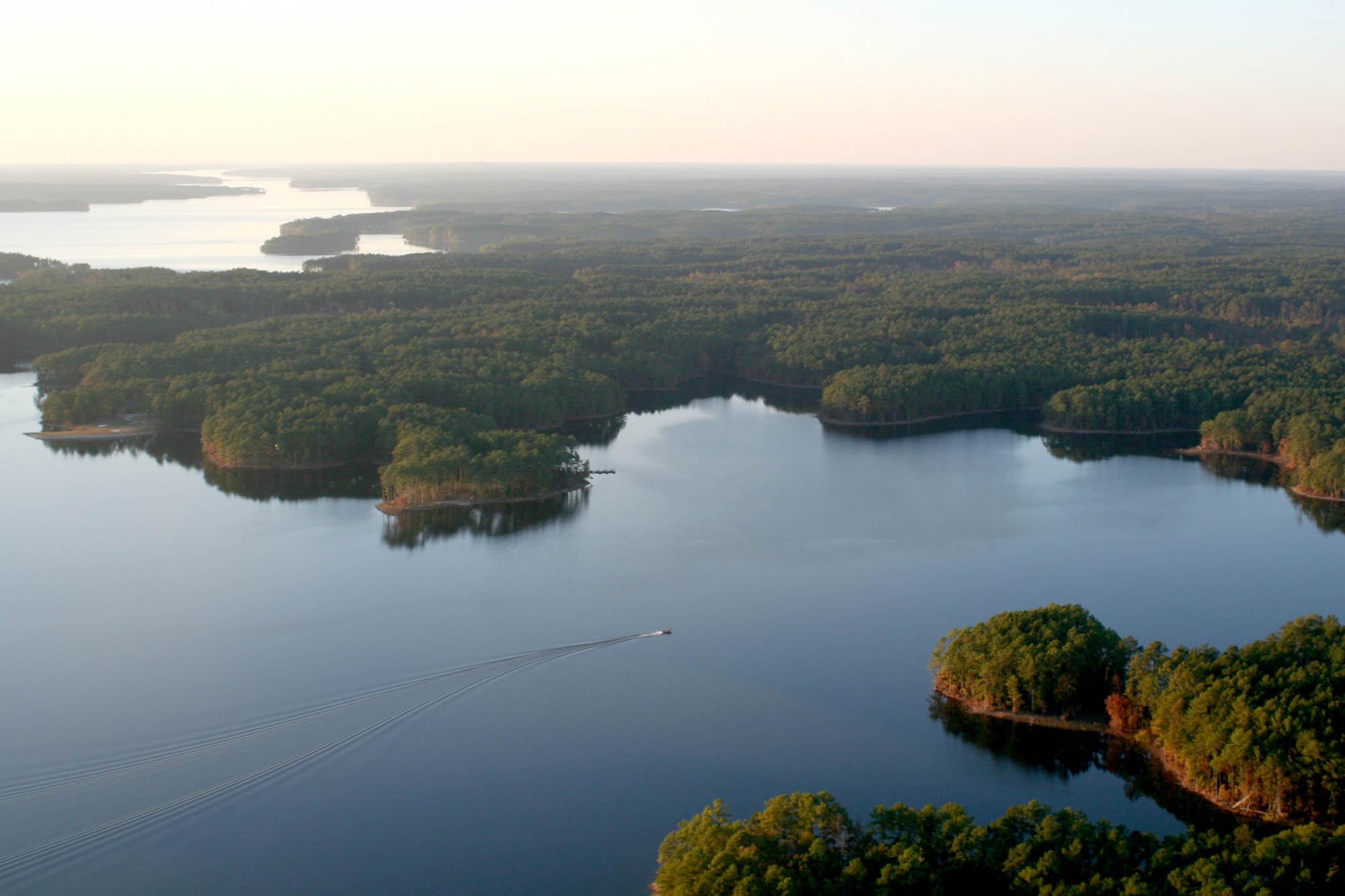
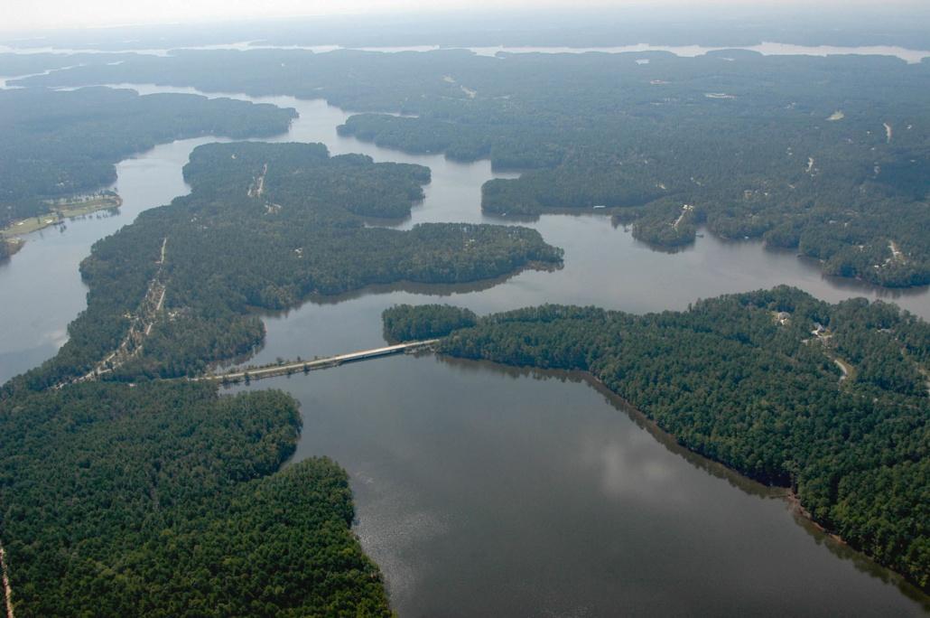
Bordering Georgia and South Carolina, Lake Thurmond stretches nearly 40 miles up the Savannah River and 26 miles up Little River. The lake covers 71,000+ acres at the normal summer pool elevation of 330 feet mean sea level (msl) and has nearly 1,200 miles of shoreline (more coastline that the state of California), with the entire project comprising 150,000 acres of public land and water.
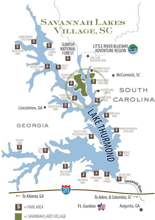
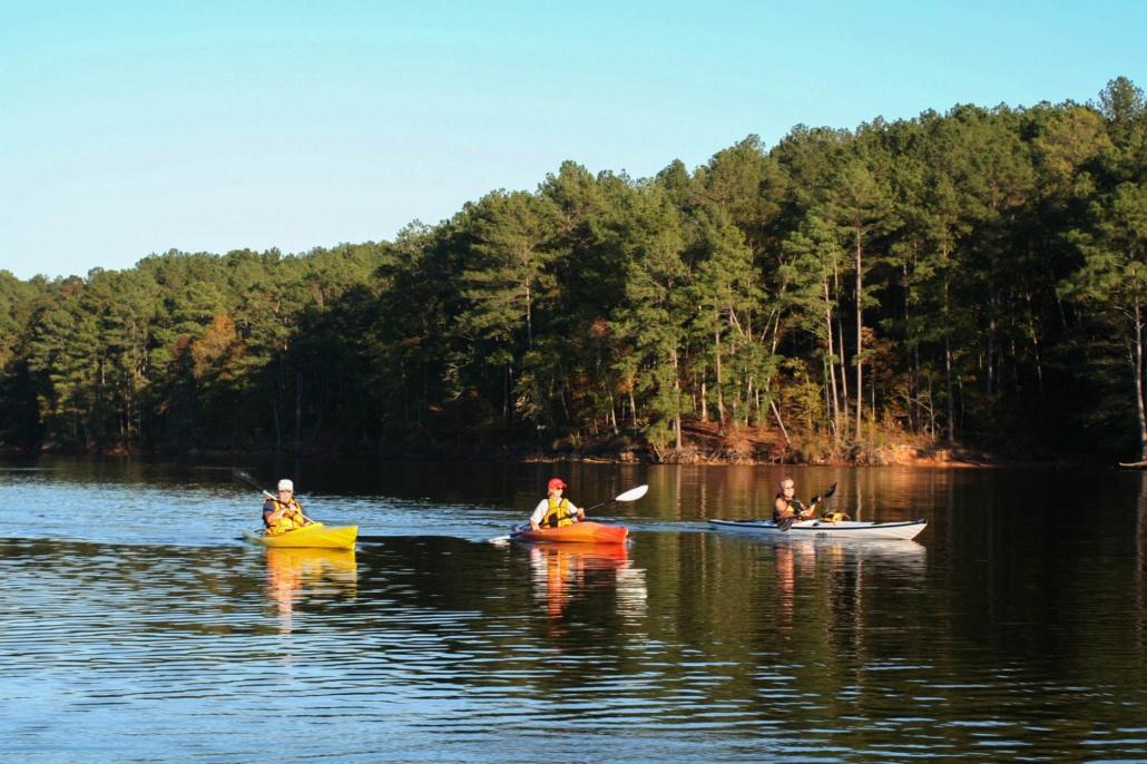
Thurmond Lake’s irregular forested shoreline is a mix of mature hardwoods and pines, providing habitat for a diversity of plant and animal types. Located just north of Augusta, Georgia, Lake Thurmond and the public lands surrounding the lake provide an expansive recreational system. It’s an ideal spot for boating, fishing, kayaking, canoeing, and any number of other water sports.
here are numerous parks, campgrounds, hiking/biking trails, paddling trails, historical sites, and forest/wildlife management areas. See Little River Blueway Adventure Region for maps and detailed information. Lake Thurmond is one of three lakes in a chain along the Savannah River. This stretch of freshwater lakes defines the border of western South Carolina and eastern Georgia. This region is commonly referred to as South Carolina’s Freshwater Coast. Lake Thurmond, Lake Russell and Lake Hartwell provide 153,000 acres of water surface.
For more information on Lake Thurmond:
- Little River Blueway Adventure Region
- Hickory Knob State Resort Park
- Elijah Clark State Park
- Baker Creek State Park
- Hamilton Branch State Park
- Lake Thurmond USACE Visitors Center
- Lake Thurmond USACE Parks and Lake Access
- USACE Balancing the Basin News Blog
